

T_Bükk app for iPhone and iPad
Developer: BEDŐ Árpád
First release : 31 Oct 2015
App size: 425.58 Mb
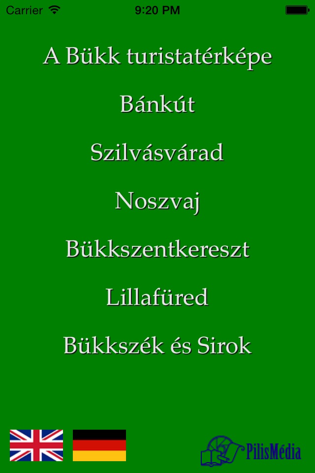
A Bükk hegység háromnyelvű turistatérképe.
Tourist map of Bükk in three languages.
A térkép magyar, angol és német nyelven használható.
The map is usable in Hungarian, in English and in German languages.
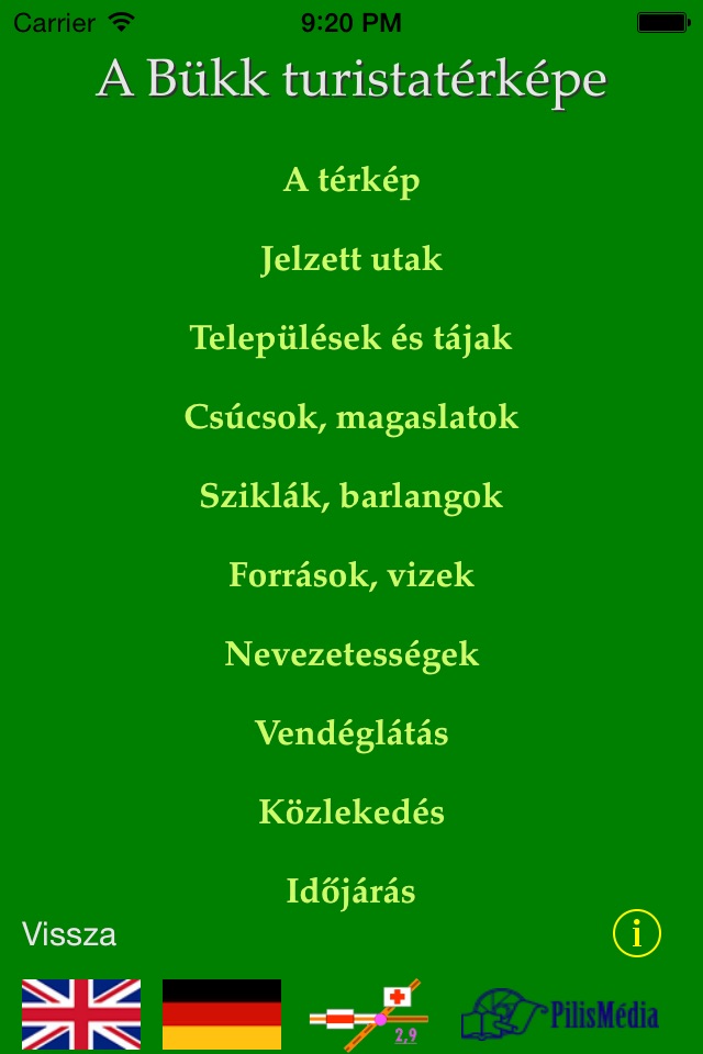
Az alkalmazás kiemelve tartalmazza
Bánkút,
Bükkszentkereszt,
Bükkszék és Sirok,
Lillafüred,
Noszvaj és
Szilvásvárad
részletes turistatérképét.
The application contains the detailed maps of
Bánkút,
Bükkszentkereszt,
Bükkszék és Sirok,
Lillafüred,
Noszvaj and
Szilvásvárad.
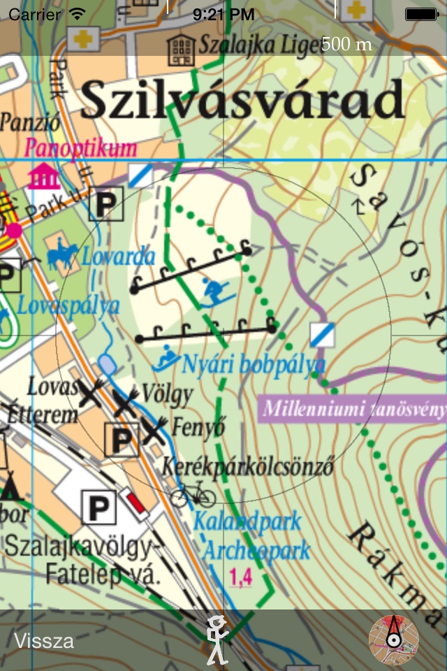
A térkép nagyítható és tologatható. Az égtájaknak megfelelő tájolást iránytűvel segíti. A távolság becslését skálázott vonalzó teszi lehetővé.
The map can be scaled and swiped. You may use a compass. You may use a calibrated line for distance prediction.
Az alkalmazás a GPS rendszer használatával a turista helyzetét pontosan mutatja.
Using GPS, the application shows and follows your position on the map.
Ha az Internet elérhető, az alkalmazásból közvetlenül lehet használni az időjárási adatokat és a menetrendeket.
Where Internet is available, you may use weather information and the traffic time tables.
A használati útmutatót a kiválasztott térkép kezdő látványának alsó részén lévő „info” gombra tapintva lehet megtekinteni.
You get the users guide tapping the "info" button in the main screen of the selected map.
A térképjelek magyarázatát a térképjel-gombra tapintva lehet tanulmányozni.
The meanings of the icons of the map can be find tapping the map-icon button.
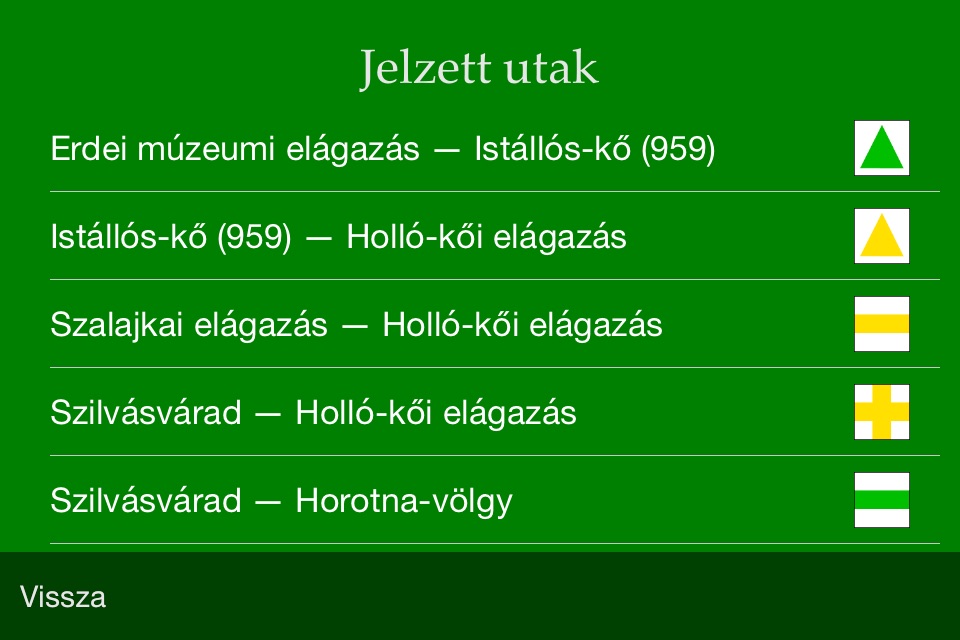
A kiválasztott jelzett út címsora alatt megjelenő turistaút-jelre tapintva az alkalmazás megmutatja az útvonalat („végig megy”) az úton. Az út bemutatását megállíthatjuk és folytattathatjuk ráduplázással illetve a rögzítés feloldásával. A rátapintáskor megjelenő „Vissza” gombbal leállíthatjuk az út bemutatását.
Tapping the icon of an already selected signed path the application shows the whole path (it follows the path from the start to the end point). You may stop the animation by double tapping on the map. The animation continues after tapping the Unlock map button at the bottom. Tapping the map during animation you get the toolbar, where using the Back button you may go back to the description of the signed path.